
Whistler Blackcomb Snow Conditions:
Whistler
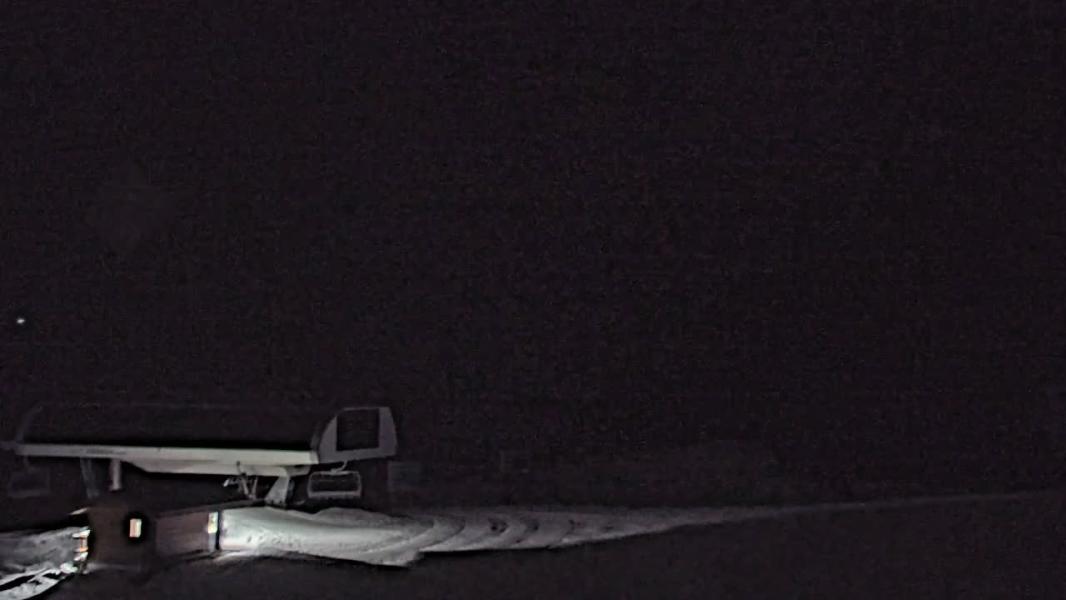
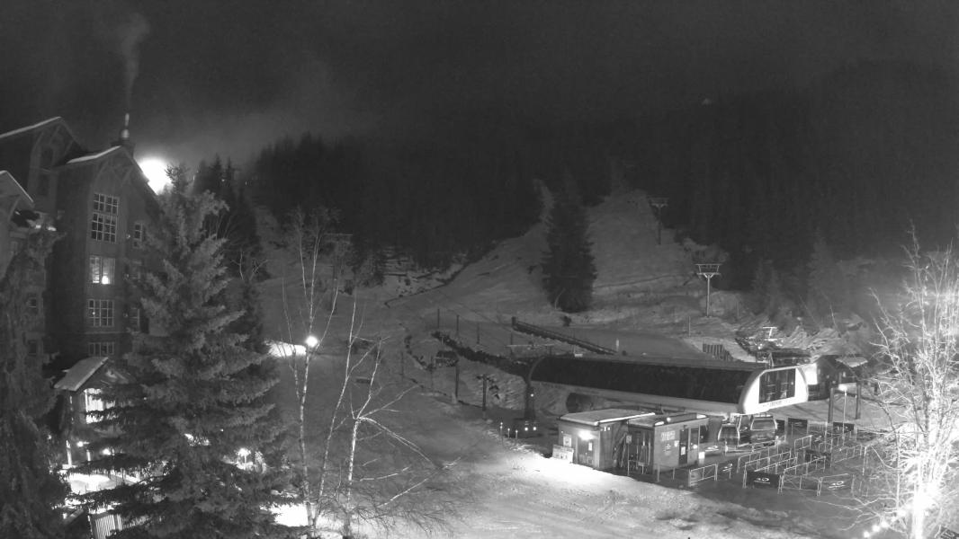
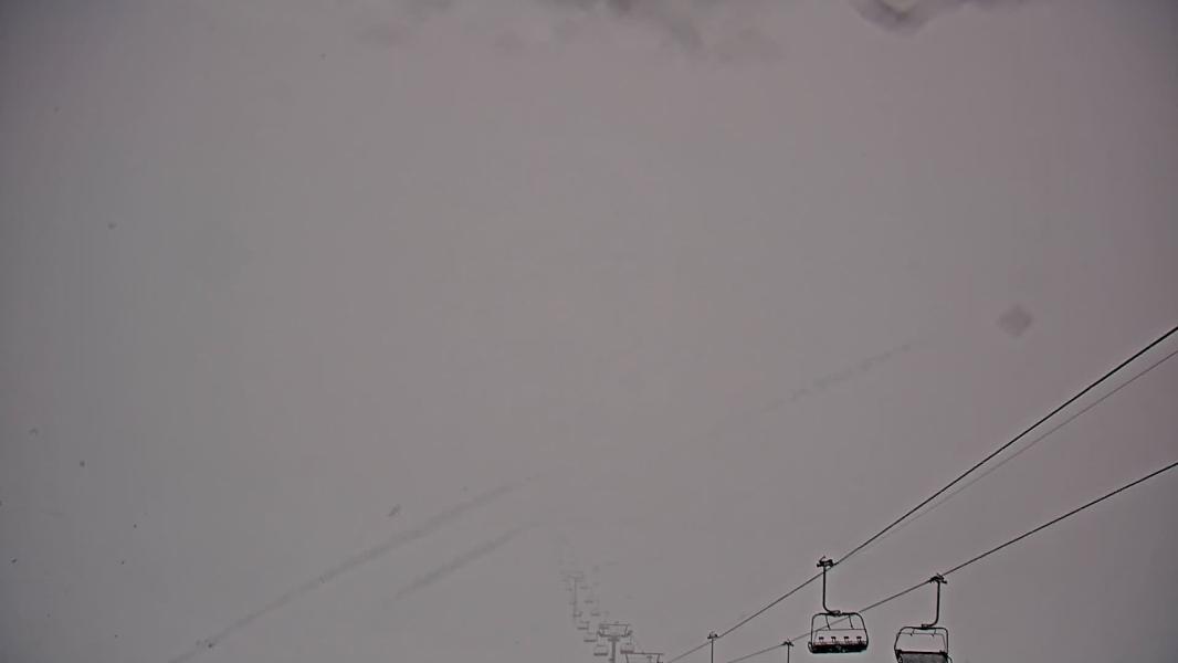
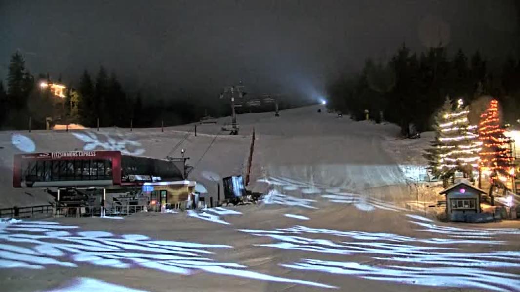
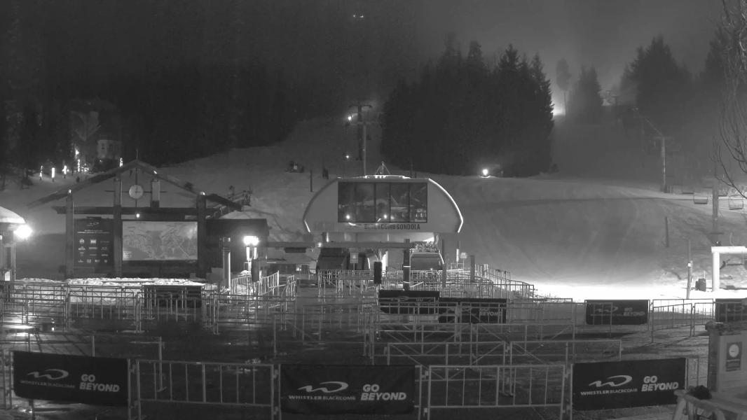
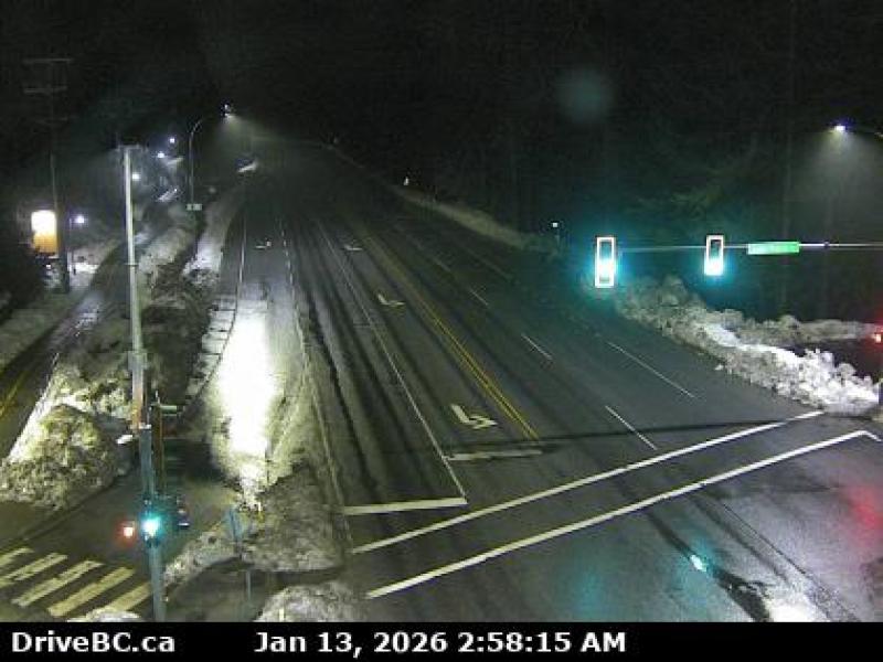
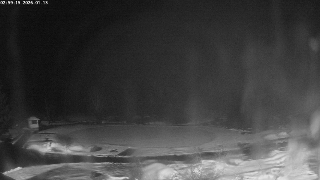
Webcams
Last 24 Hrs:


-1 Hr
+1 Hr
Whistler Blackcomb Live Weather:
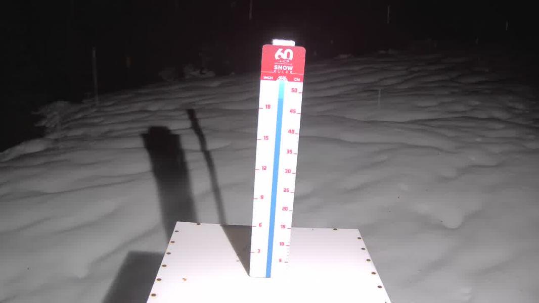
Snowfall updated: Mon, Jan 12, 4:45 am Temps updated:10 Day Snow Forecast
10 Day snow total
10 day rain total
Location:
8.3 cm
28.2 mm
Whistler
21.3 mm
Squamish
29.2 mm
Callaghan
22.6 mm
Spearhead
14.2 mm
Duffey
18.9 mm
Coquihalla
27.4 mm
Northshore
17.7 mm
Vancouver
Whistler Issued by: avalanche-canada Issued at: Mon Jan 12, 2026 16:00 PST Valid Until Tue Jan 13, 2026 16:00 PST
Natural storm slabs above 2000 m, and wet slabs below will remain possible, human triggered avalanches are likely.
Warm temperatures with the possibility of sunny breaks will keep wet loose avalanche activity possible to human-trigger.
Strong wind and precipitation at the beginning of the storm have developed large overhanging cornices that will remain touchy with warm temperatures and sunny breaks. Avalanche Summary On Monday, a widespread wet slab and wet loose avalanche cycle was reported. Cornices are reported to be over-hanging and fragile. As the freezing levels rise even further and the sun comes out we expect natural avalanche activity to continue. Snowpack SummaryRain and heavy wet snow above 2000 m has saturated the upper snowpack, this overlies last weeks storm snow. This rain-on-snow event is the trigger for numerous wet slab avalanches up to size 2. With freezing levels forecasted to rise further tomorrow with sunny breaks in the afternoon surface snow will remain moist and reactive. The mid-December crust is 100 to 200 cm deep and reaches up to 2200 m. It's well-bonded to the snow above. Above 2200 m, a layer of facets and a crust from November is at the base of the snowpack. These layers are not currently a concern. Weather SummaryMonday Night More details can be found in the Mountain Weather Forecast. Confidence: moderateUncertainty is due to how the snowpack will react to the forecast weather. Sky Pilot Issued by: avalanche-canada Issued at: Mon Jan 12, 2026 16:00 PST Valid Until Tue Jan 13, 2026 16:00 PST
A saturated upper snowpack and warm temperatures with high freezing levels may keep human-triggered wet-loose avalanches possible. Avalanche Summary human-triggered avalanche activity may continue throughout the day with the forecasted warm temperatures and high freezing levels. Snowpack SummaryThe upper snowpack is saturated and will remain moist while freezing levels are elevated. Rain has rapidly settled the snowpack. The mid and lower snowpack has two crusts that are between 50 and 150 cm deep. These crusts are not currently a concern. Weather SummaryMonday Night More details can be found in the Mountain Weather Forecast. Confidence: moderateUncertainty is due to how the snowpack will react to the forecast weather. Duffey Issued by: avalanche-canada Issued at: Mon Jan 12, 2026 16:00 PST Valid Until Tue Jan 13, 2026 16:00 PST
Heavy precipitation, rising freezing levels and sunny breaks are combined to keep storm slabs reactive. Cornice triggers are also a concern, where strong wind and snow at upper elevations has been intense.
A weak layer of buried surface hoar and facets is worst at treeline in areas sheltered from previous strong south and west wind. Forecasted precipitation will be testing this layer.
Freezing levels are forecasted to soar on Tuesday. Sunny breaks are possible, making natural wet loose avalanche activity likely in steep terrain features. Avalanche Summary Numerous wet loose avalanches were reported up to size two in the Duffy Lake area. On Monday, two explosives controlled size 3 avalanches were reported that may have released down to an early November weak layer. Snowpack SummaryStorm snow above 1900 m is being redistributed by strong to extreme winds developing reactive storm slabs in lee features. Rain saturated surface snow is present below 1800 m. The mid pack is settling rapidly and increases in resistance. The lower snowpack is well consolidated snow and two melt-freeze crusts from early season. An report of large explosive controlled avalanches may have release on one of these layers. Weather SummaryMonday Night More details can be found in the Mountain Weather Forecast. Confidence: moderateUncertainty is due to how the snowpack will react to the forecast weather. |


|
Traffic as of: |
History
Chairlift opening and closing over the last week:
Sea to Sky Town Weather Histroy
↓ - Load 7 day Weather Histroy
| Currently: | Squamish | Callaghan | Whistler | Pemberton | |
|---|---|---|---|---|---|
| Temperature: | 5.3 ℃ | 1.5 ℃ | 1.5 ℃ | 1.7 ℃ | |
| 24hr Liq. Precip: | 87.5 mm | 50.4 mm | 48.5 mm | 40.3 mm | |
| Snow Depth: | 0.0 cm | 105.0 cm | NA | 7.0 cm |
Nearby Weather Station Histories
Load 7 Day Weather History
Remote Observations
↓ - Load 7 day Snowpillow History
Locations
Other Locations (more coming soon!):
BC: Whistler Blackcomb
BC: Apex Mountain
BC: Fernie
BC: Mt Cain
BC: Cypress Mountain
BC: Mount Seymour
BC: Grouse Mountain
AB: Lake Louise Ski Resort
BC: Kicking Horse
BC: Revelstoke Mountain Resort
Ca: Heavenly
Ca: Diamond Peak
Ca: Mammoth Mtn
Ca: Kirkwood
Ca: Northstar at Tahoe
Ca: Sierra at Tahoe
Ca: Squaw Valley
Co: Crested Butte
Co: Aspen Mountain
Co: Aspen Highlands
Co: Buttermilk
Co: Snowmass
Co: Beaver Creek
Co: Breckenridge Resort
Co: Keystone Resort
Co: Telluride
Co: Vail Resort
Or: Mt Hood Meadows
Ut: Brighton
Ut: Solitude
Ut: Snowbird
Ut: Park City Mountain Resort
Wa: Mount Baker
Wa: Crystal Mountain
Wa: Stevens Pass
Wy: Jackson Hole
**This page is for informational purposes only and is not intended as a guide or gurantee of weather or conditions accuracy. Use with good judgement and explore with caution**
---- Shredsights Consulting Inc ----
---- Info Request Policy----
---- Terms of Service----
---- Privacy Policy ----
---- Contact ----