
Keystone Resort Snow and Weather Conditions:
The latest ski area info including webcam history, snowfall history, 10 day weather forecast.Keystone Resort
Webcams
Last 24 Hrs:
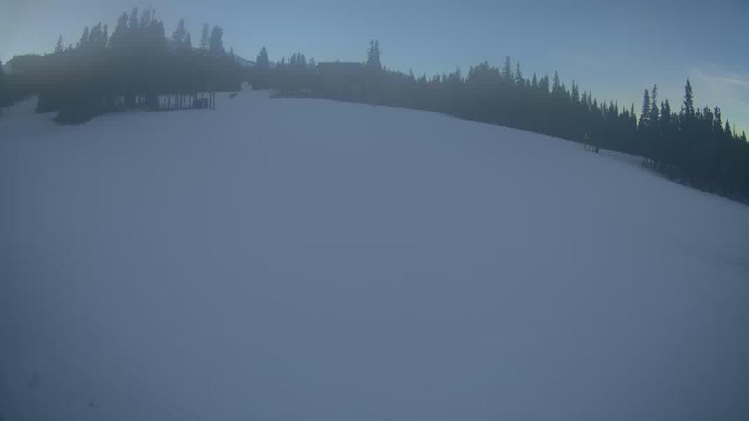
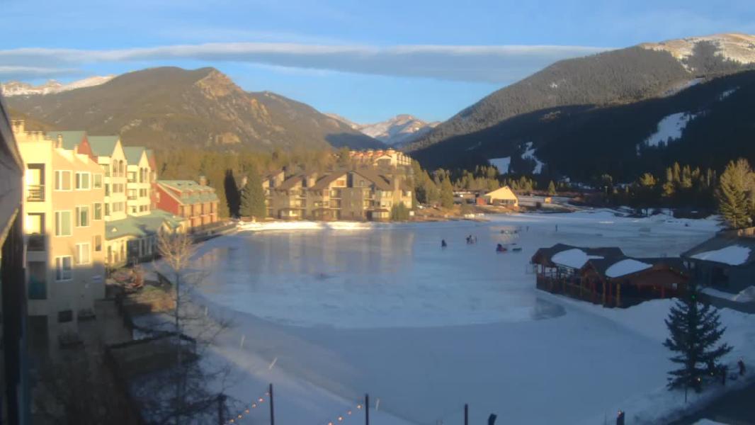
Dercum
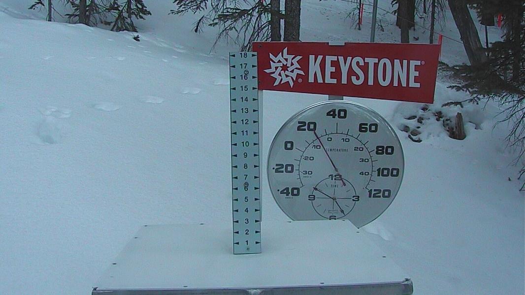
Snowstake
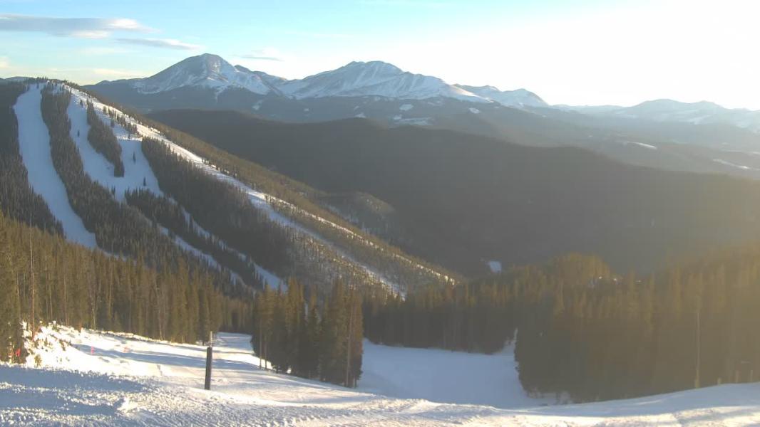
NorthPeak
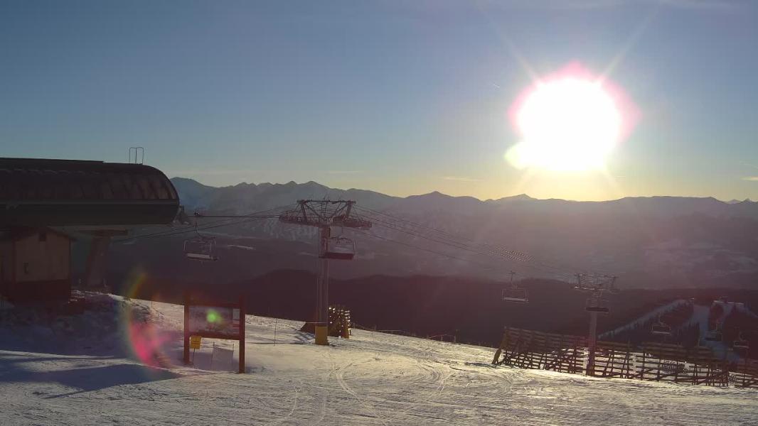
Bergman
Riverrun
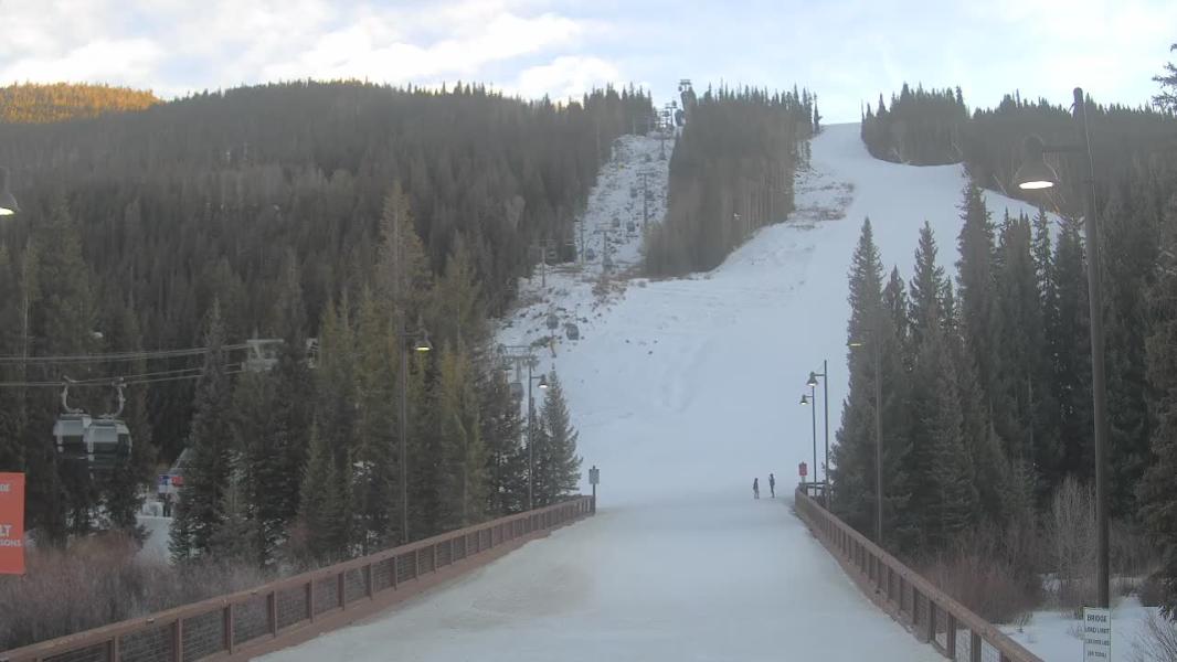
Lakeside
Date
×
Earlier
-1 Hr
-1 Hr
Later
+1 Hr
+1 Hr

Forecast
GFS Forecast Updated:
10 Day snow total
10 day rain total
24 Hour Snow total
10 Day snow total
10 day rain total
24 Hour Snow total
GFS Elevation
top/bottom
Location:
top/bottom
Location:
Jun 28, 2026: 12pm
0 cm
3.1 mm
0 cm
0 cm
3.1 mm
0 cm
3317 m
2829-3783m
keystone
2829-3783m
keystone
― High Clouds ― Mid Clouds ― Low Clouds ― Surface Gusts(Km/Hr) ― 1800m Wind Speed (Km/Hr), Direction
Locations
BC: Whistler Blackcomb
BC: Apex Mountain
BC: Fernie
BC: Mt Cain
BC: Mt Washington
BC: Cypress Mountain
BC: Mount Seymour
BC: Grouse Mountain
AB: Lake Louise Ski Resort
BC: Kicking Horse
BC: Revelstoke Mountain Resort
Ca: Heavenly
Ca: Diamond Peak
Ca: Mammoth Mtn
Ca: Kirkwood
Ca: Northstar at Tahoe
Ca: Sierra at Tahoe
Ca: Squaw Valley
Co: Crested Butte
Co: Aspen Mountain
Co: Aspen Highlands
Co: Buttermilk
Co: Snowmass
Co: Beaver Creek
Co: Breckenridge Resort
Co: Keystone Resort
Co: Telluride
Co: Vail Resort
Or: Mt Hood Meadows
Ut: Brighton
Ut: Solitude
Ut: Snowbird
Ut: Park City Mountain Resort
Wa: Mount Baker
Wa: Crystal Mountain
Wa: Stevens Pass
Wy: Jackson Hole
**This page is for informational purposes only and is not intended as a guide or gurantee of weather or conditions accuracy. Use with good judgement and explore with caution**
------------- Contact/DM -------------