
Lake Louise Ski Resort Snow and Weather Conditions:
The latest ski area info including webcam history, snowfall history, 10 day weather forecast, and avalanche advisory.Lake Louise Ski Resort
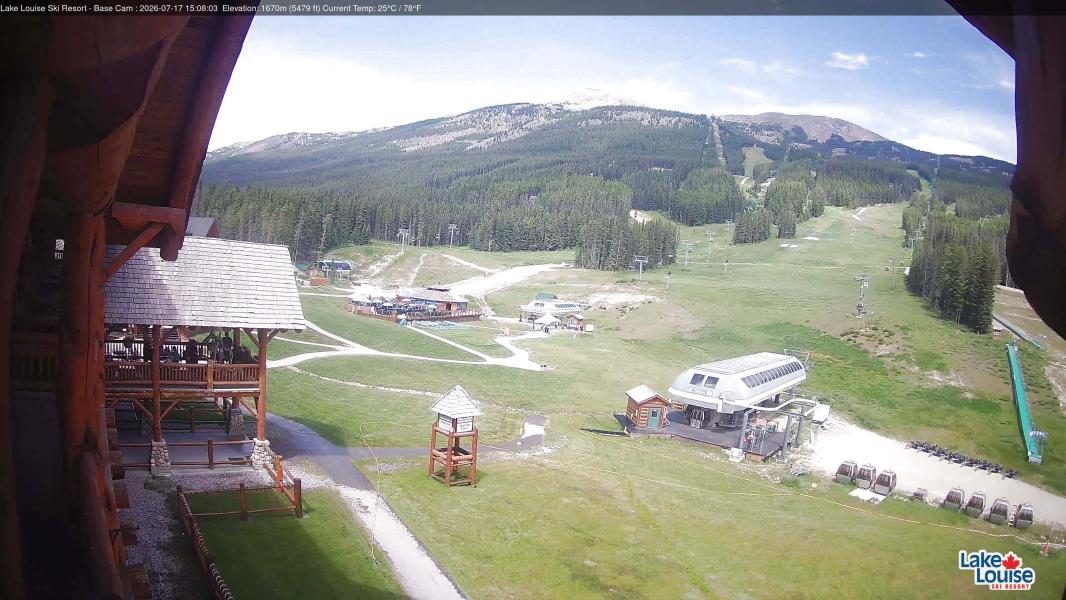
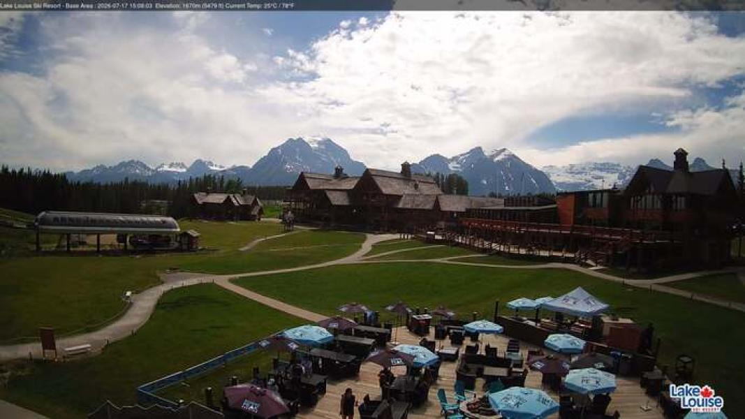
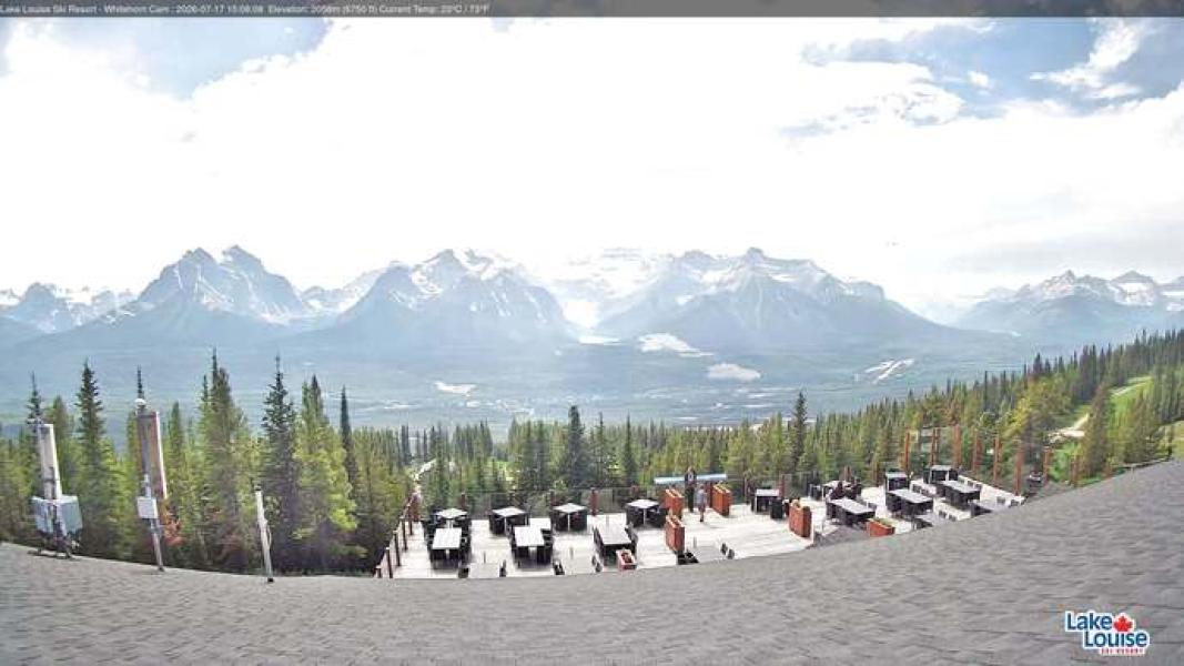
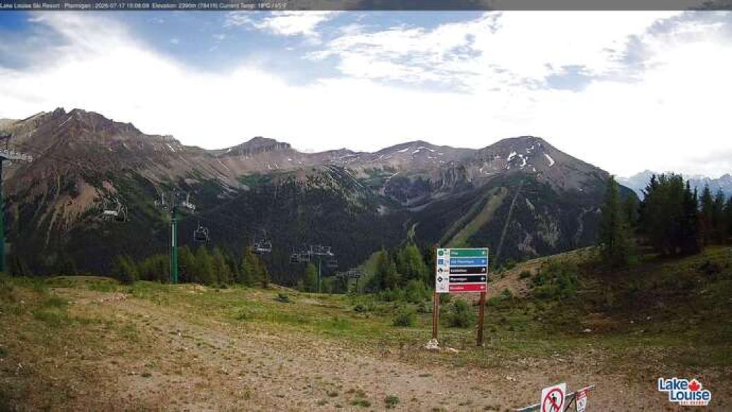
Webcams
Last 24 Hrs:
-1 Hr
+1 Hr

Forecast
10 Day snow total
10 day rain total
24 Hour Snow total
top/bottom
Location:
0 cm
2.6 mm
0 cm
1647-2637m
lakelouise
Avalanche Bulletin
Lake Louise Issued by: parks-byk Issued at: Fri Jul 3, 2026 16:00 PST Valid Until Thu Oct 1, 2026 16:00 PST
Weather Summary For recent weather, see the telemetry stations on the Avalanche Canada map page. For forecasted weather, check out Environment Canada regional forecasts. Western Canada weather maps Confidence: noRatingKicking Horse Issued by: avalanche-canada Issued at: Tue Jun 30, 2026 16:00 PST Valid Until Thu Oct 1, 2026 16:00 PST
Weather Summary More details can be found in the Mountain Weather Forecast. Confidence: noRatingGlacier National Park Issued by: parks-glacier Issued at: Fri Jul 3, 2026 16:00 PST Valid Until Sat Aug 1, 2026 16:00 PST
Snowpack Summary After a big snowfall year and cooler spring temps, there is still quite a bit of snow in the alpine. The snowpack has now transitioned to a summer snowpack. It has undergone numerous freeze/thaw cycles and been exposed to multiple rain events. After cold clear mornings expect the surface to be firm and icy, then softening with daytime heating and sun. Avalanches are still possible. Especially after heavy rainfall, sudden intense heating or with summer snow squalls. Weather SummaryFor real time weather forecasts visit: The Avalanche Canada Mountain Weather Forecast https://avalanche.ca/weather/forecast For detailed model guidance: Windy.com https://www.windy.com/?51.269,-117.395,11,m:e4CacTf Spotwx.com https://spotwx.com/ Confidence: noRating |
↓ - Banff Forecast |
↓ - Golden Forecast | ||||||||||||||||||||||||||||||||||||
|
↓ - Canmore Forecast |
↓ - Yoho Natl Park Forecast | ||||||||||||||||||||||||||||||||||||
|
↓ - Western Satelite Loop |
Satelite Loading |
Locations
BC: Whistler Blackcomb
BC: Apex Mountain
BC: Fernie
BC: Mt Cain
BC: Mt Washington
BC: Cypress Mountain
BC: Mount Seymour
BC: Grouse Mountain
AB: Lake Louise Ski Resort
BC: Kicking Horse
BC: Revelstoke Mountain Resort
Ca: Heavenly
Ca: Diamond Peak
Ca: Mammoth Mtn
Ca: Kirkwood
Ca: Northstar at Tahoe
Ca: Sierra at Tahoe
Ca: Squaw Valley
Co: Crested Butte
Co: Aspen Mountain
Co: Aspen Highlands
Co: Buttermilk
Co: Snowmass
Co: Beaver Creek
Co: Breckenridge Resort
Co: Keystone Resort
Co: Telluride
Co: Vail Resort
Or: Mt Hood Meadows
Ut: Brighton
Ut: Solitude
Ut: Snowbird
Ut: Park City Mountain Resort
Wa: Mount Baker
Wa: Crystal Mountain
Wa: Stevens Pass
Wy: Jackson Hole
**This page is for informational purposes only and is not intended as a guide or gurantee of weather or conditions accuracy. Use with good judgement and explore with caution**
------------- Contact/DM -------------