
Whistler Blackcomb Snow Conditions:
Whistler
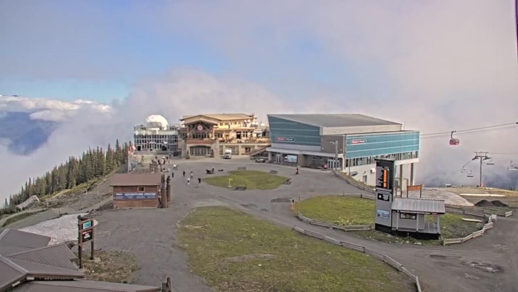
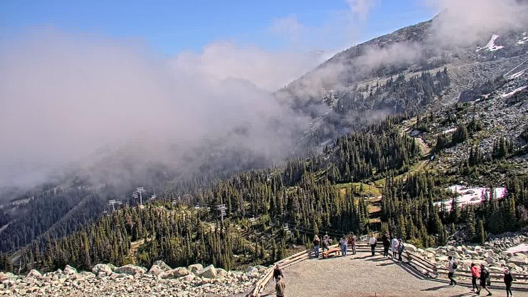
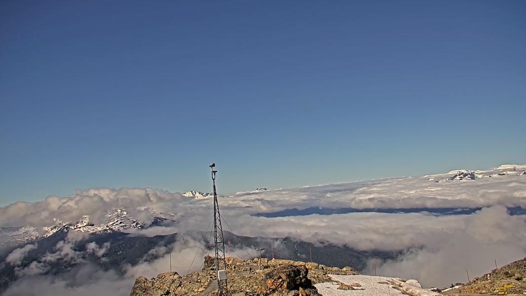
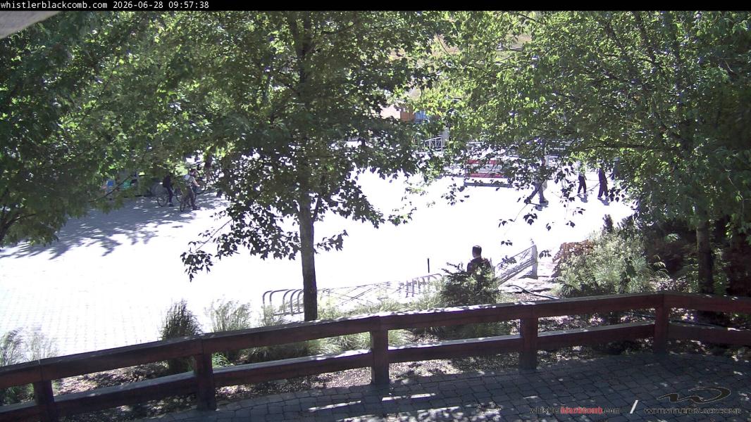
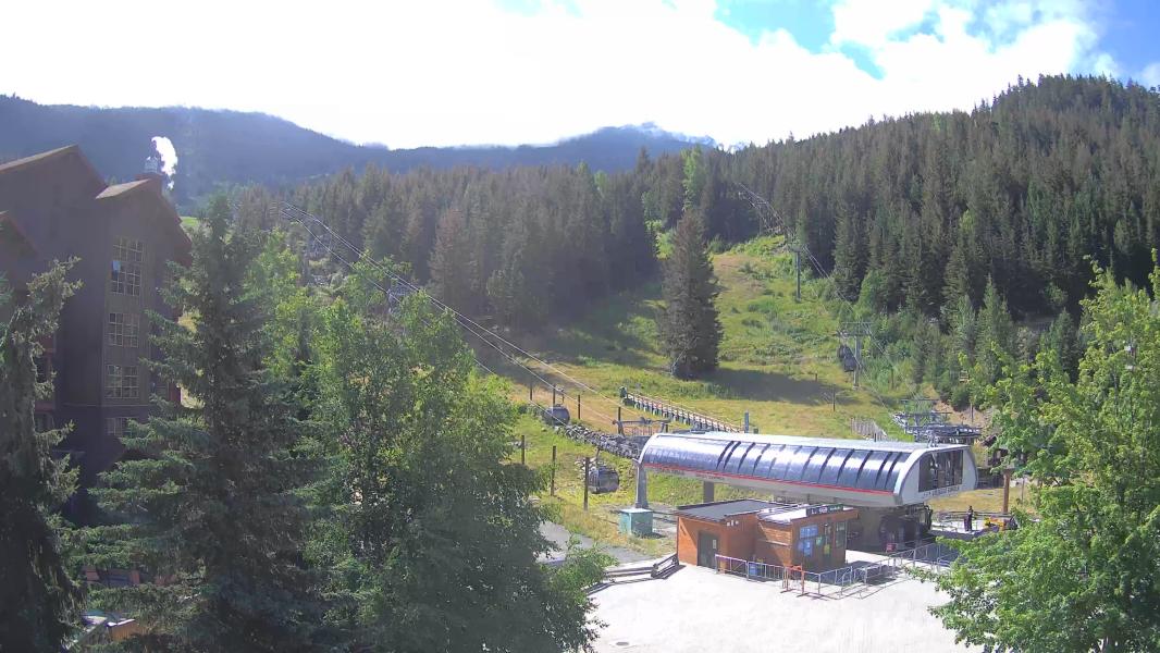
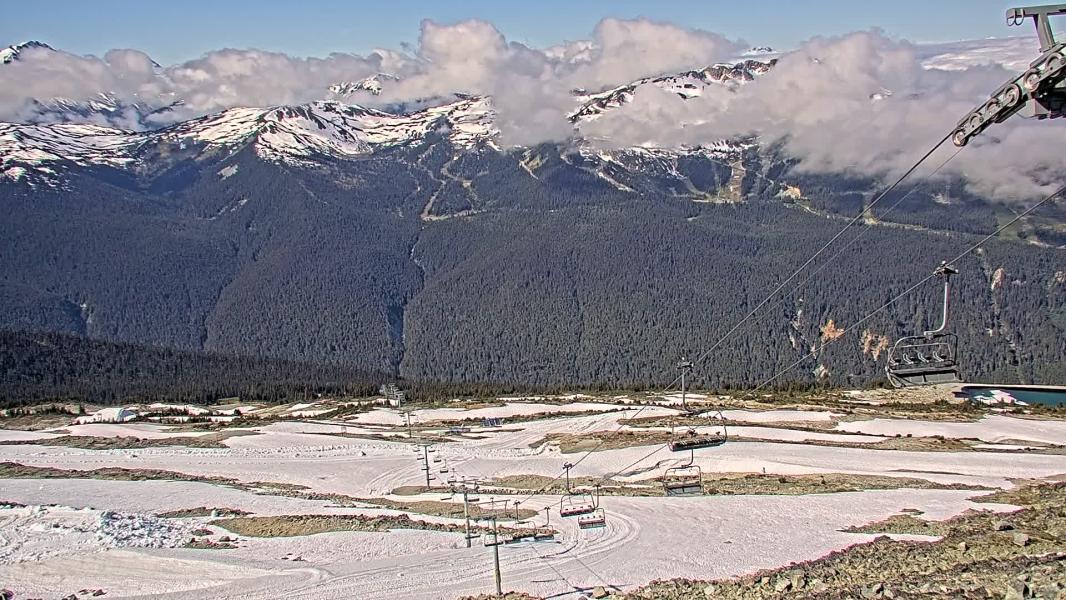
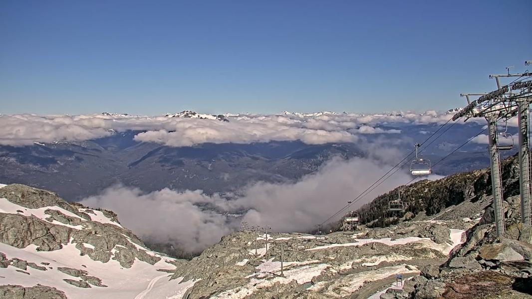
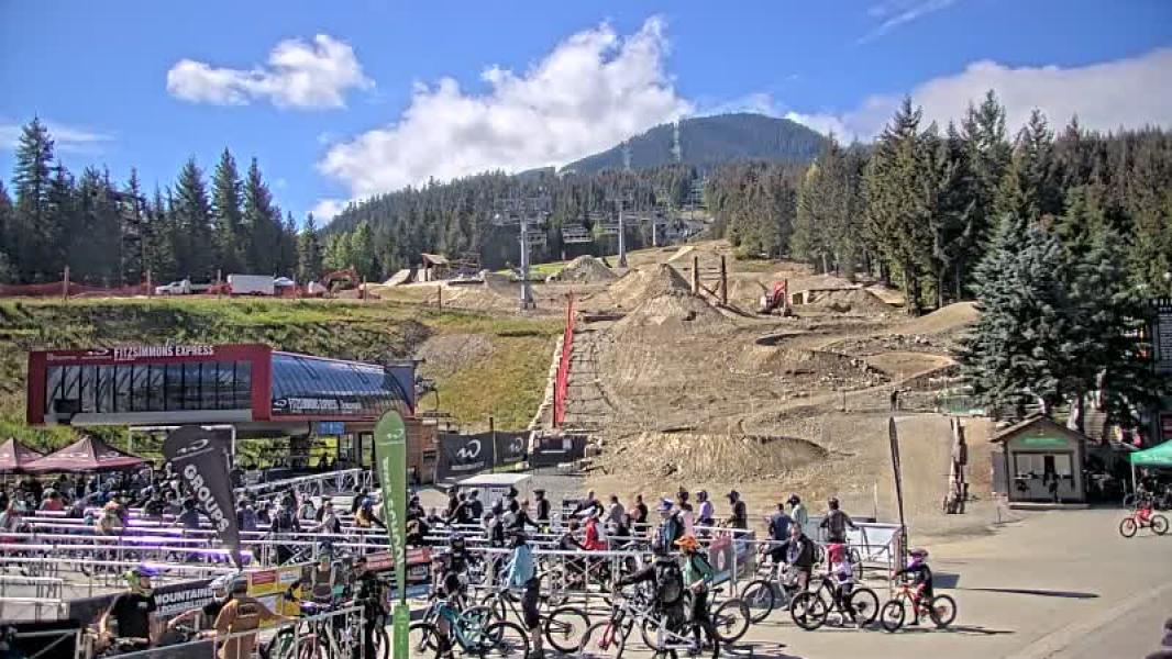
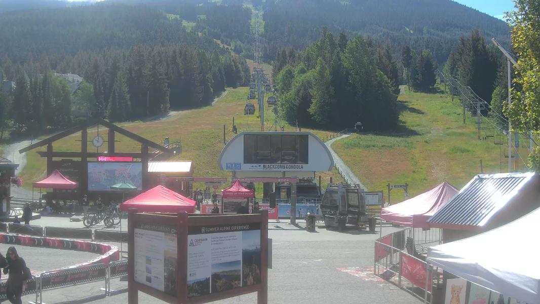
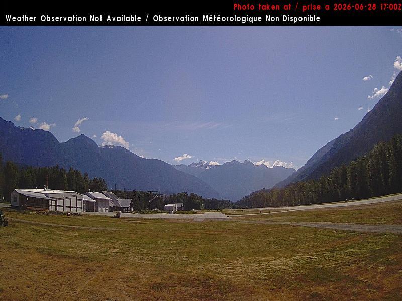
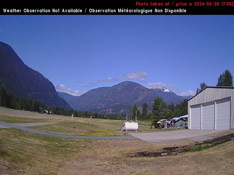
Webcams
Last 24 Hrs:


-1 Hr
+1 Hr
Whistler Blackcomb Live Weather:
Snowfall updated: Mon, May 18, 10:00 am Temps updated:
10 Day Snow Forecast
10 Day snow total
10 day rain total
Location:
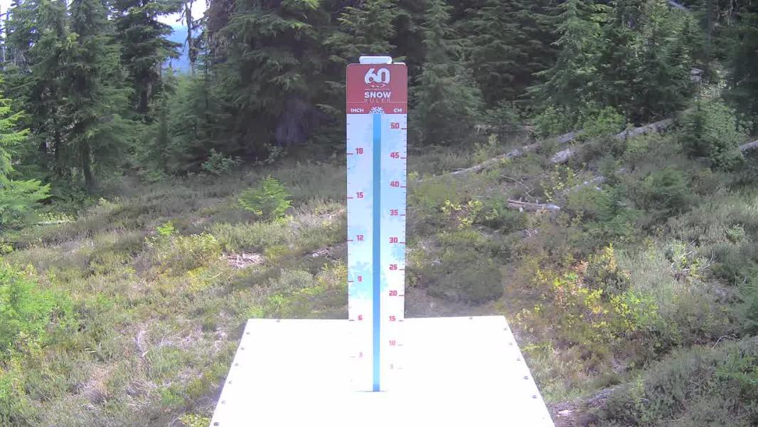
0 cm
7.2 mm
Whistler
7.2 mm
Squamish
11.6 mm
Callaghan
6.8 mm
Spearhead
5.1 mm
Duffey
1.5 mm
Coquihalla
8.5 mm
Northshore
0 mm
Vancouver
Whistler Issued by: avalanche-canada Issued at: Mon Apr 27, 2026 16:00 PST Valid Until Tue Jun 30, 2026 16:00 PST
Snowpack Summary The snow surface likely consists of a mix of hard melt-freeze crust, wet snow, and dry snow, depending on aspect and elevation. Sun-exposed slopes and lower elevations may undergo daily melt-freeze cycles, while northerly alpine slopes could remain dry with potential slabs, depending on the freezing level. The remainder of the snowpack is strong for most areas. Weather SummaryMore details can be found in the Mountain Weather Forecast. Confidence: noRatingSky Pilot Issued by: avalanche-canada Issued at: Mon Apr 27, 2026 16:00 PST Valid Until Tue Jun 30, 2026 16:00 PST
Snowpack Summary The snow surface likely consists of a mix of hard melt-freeze crust, wet snow, and dry snow, depending on aspect and elevation. Sun-exposed slopes and lower elevations may undergo daily melt-freeze cycles, while northerly alpine slopes could remain dry with potential slabs, depending on the freezing level. The remainder of the snowpack is strong for most areas. Weather SummaryMore details can be found in the Mountain Weather Forecast. Confidence: noRatingDuffey Issued by: avalanche-canada Issued at: Mon Apr 27, 2026 16:00 PST Valid Until Tue Jun 30, 2026 16:00 PST
Snowpack Summary The snow surface likely consists of a mix of hard melt-freeze crust, wet snow, and dry snow, depending on aspect and elevation. Sun-exposed slopes and lower elevations may undergo daily melt-freeze cycles, while northerly alpine slopes could remain dry with potential slabs, depending on the freezing level. The remainder of the snowpack is strong for most areas. Weather SummaryMore details can be found in the Mountain Weather Forecast. Confidence: noRating |
|
Traffic as of: |
History
Chairlift opening and closing over the last week:
Sea to Sky Town Weather Histroy
↓ - Load 7 day Weather Histroy
| Currently: | Squamish | Callaghan | Whistler | Pemberton | |
|---|---|---|---|---|---|
| Temperature: | 17.3 ℃ | 12.9 ℃ | 16.1 ℃ | 18.0 ℃ | |
| 24hr Liq. Precip: | 0.0 mm | 0.0 mm | 0.1 mm | 0.0 mm | |
| Snow Depth: | 0.0 cm | 4.0 cm | NA | 0.0 cm |
Nearby Weather Station Histories
Load 7 Day Weather History
Remote Observations
↓ - Load 7 day Snowpillow History
Locations
Other Locations (more coming soon!):
BC: Whistler Blackcomb
BC: Apex Mountain
BC: Fernie
BC: Mt Cain
BC: Mt Washington
BC: Cypress Mountain
BC: Mount Seymour
BC: Grouse Mountain
AB: Lake Louise Ski Resort
BC: Kicking Horse
BC: Revelstoke Mountain Resort
Ca: Heavenly
Ca: Diamond Peak
Ca: Mammoth Mtn
Ca: Kirkwood
Ca: Northstar at Tahoe
Ca: Sierra at Tahoe
Ca: Squaw Valley
Co: Crested Butte
Co: Aspen Mountain
Co: Aspen Highlands
Co: Buttermilk
Co: Snowmass
Co: Beaver Creek
Co: Breckenridge Resort
Co: Keystone Resort
Co: Telluride
Co: Vail Resort
Or: Mt Hood Meadows
Ut: Brighton
Ut: Solitude
Ut: Snowbird
Ut: Park City Mountain Resort
Wa: Mount Baker
Wa: Crystal Mountain
Wa: Stevens Pass
Wy: Jackson Hole
**This page is for informational purposes only and is not intended as a guide or gurantee of weather or conditions accuracy. Use with good judgement and explore with caution**
---- Shredsights Consulting Inc ----
---- Info Request Policy----
---- Terms of Service----
---- Privacy Policy ----
---- Contact ----