
Whistler Blackcomb Snow Conditions:
Whistler
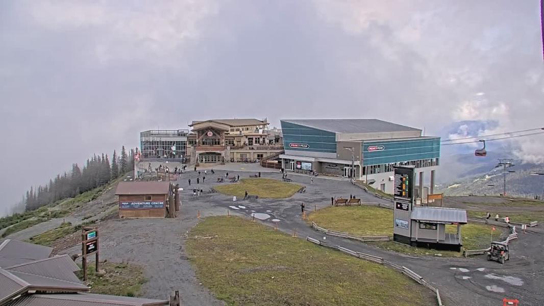
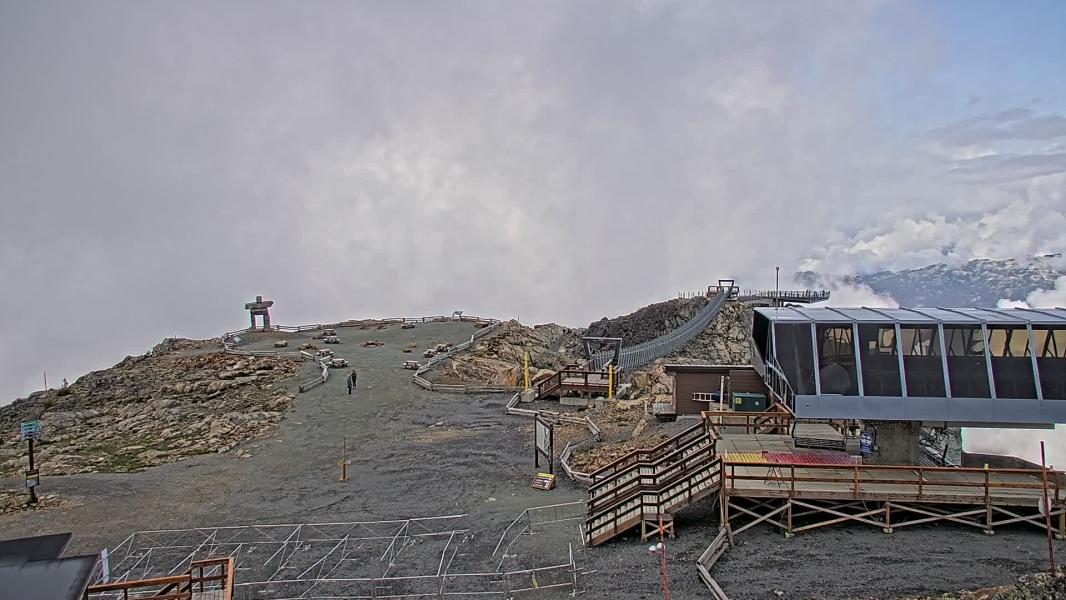
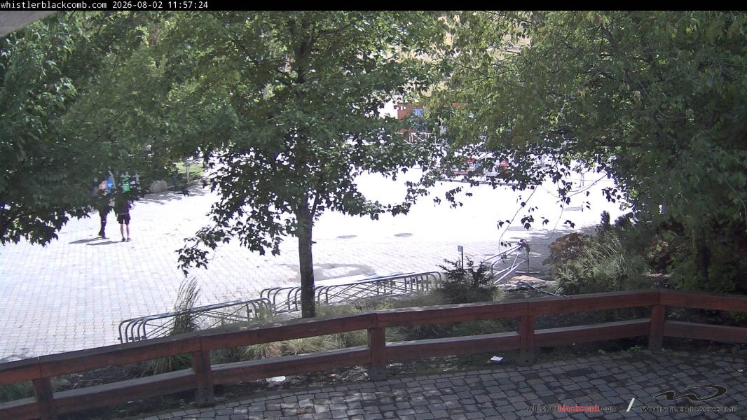
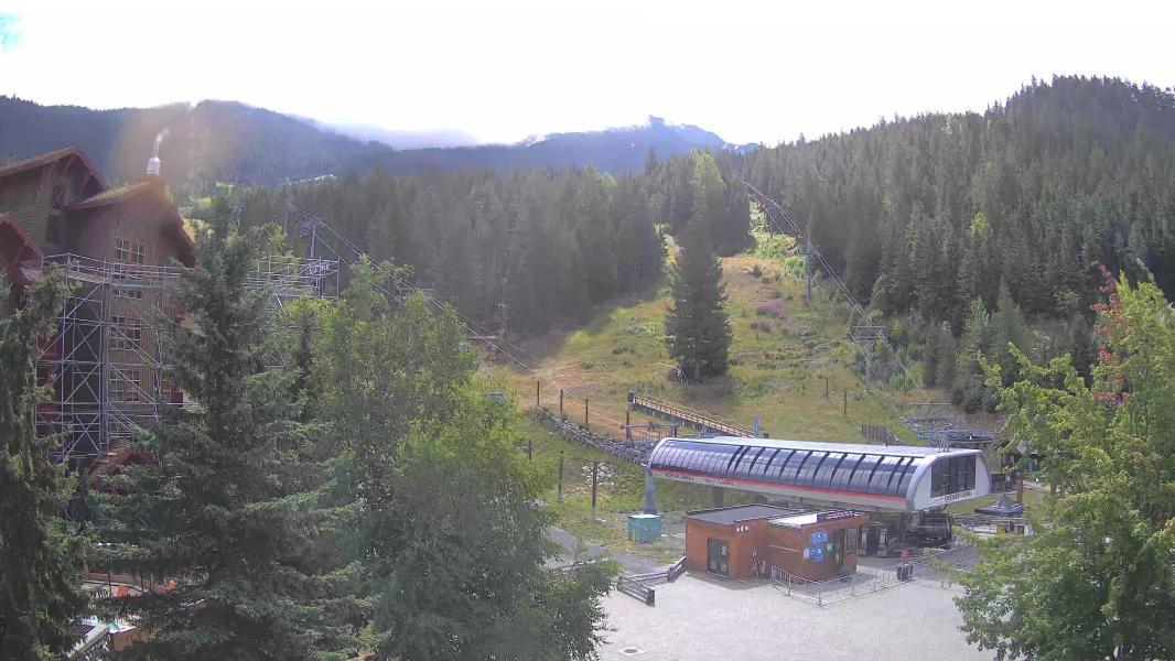
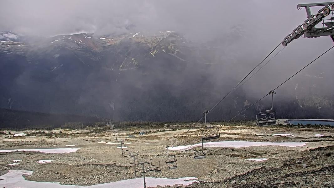
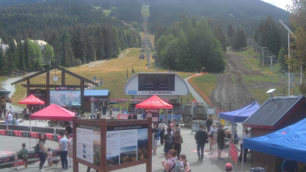
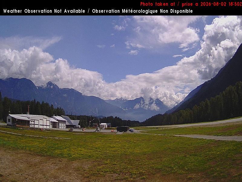
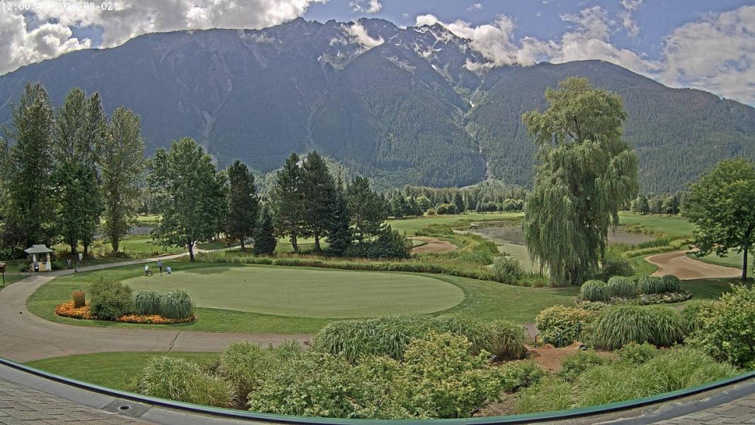
Webcams
Last 24 Hrs:
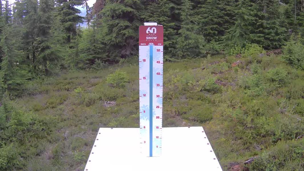
Whistler
Snowstake
Blackcomb
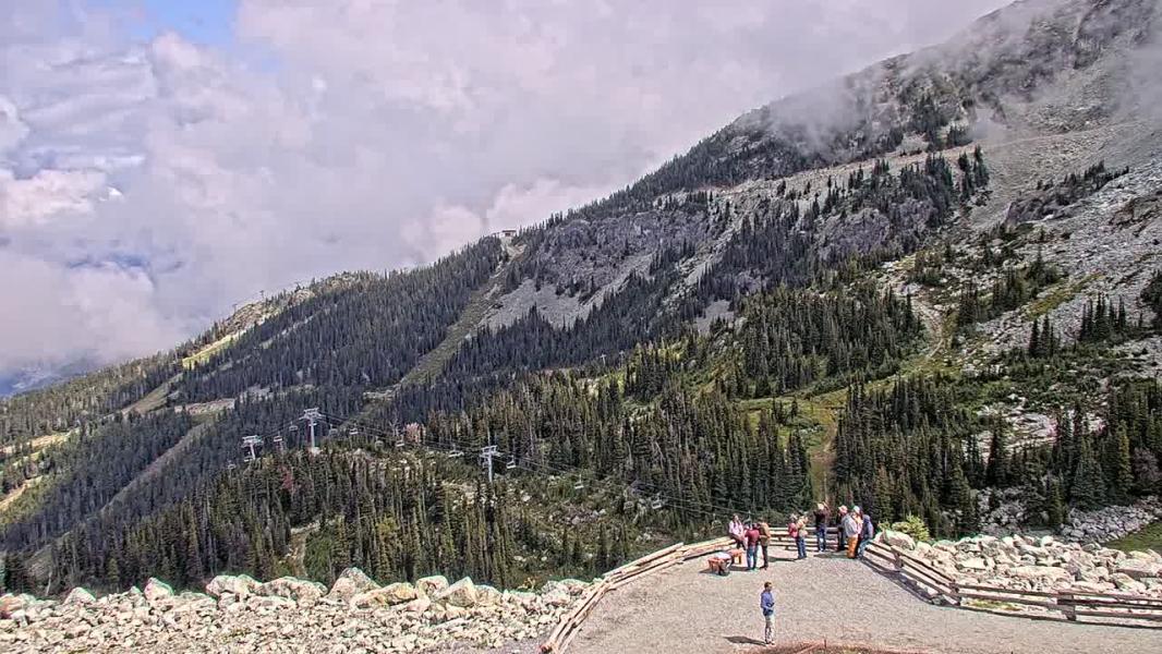
Peak
Creekside
PeakToCreek
Seventh Heaven
Glacier

Village

Upper Village
FunctionNorth

VillageGateS

LakePlacidN

LakePlacidS

Cayoosh

PembertonAir-E
PembertonAir-W

Pemberton-E
Date
×
Earlier
-1 Hr
-1 Hr
Later
+1 Hr
+1 Hr
Whistler Blackcomb Live Weather:
Snowfall updated: Mon, May 18, 10:00 am Temps updated:
Choose station to view details

10 Day Snow Forecast
GFS Forecast Updated:
10 Day snow total
10 day rain total
10 Day snow total
10 day rain total
Fcast Elevation
Location:
Location:
Aug 2, 2026: 12pm
0 cm
28.1 mm
0 cm
28.1 mm
1360 m
Whistler
Whistler
0 cm
8.5 mm
8.5 mm
901 m
Squamish
Squamish
0 cm
21.8 mm
21.8 mm
1515 m
Callaghan
Callaghan
0 cm
27.2 mm
27.2 mm
1564 m
Spearhead
Spearhead
0 cm
21.8 mm
21.8 mm
1406 m
Duffey
Duffey
0 cm
16.3 mm
16.3 mm
1422 m
Coquihalla
Coquihalla
0 cm
4.7 mm
4.7 mm
836 m
Northshore
Northshore
0 cm
2.1 mm
2.1 mm
38 m
Vancouver
Vancouver
― Low Clouds ― Mid Clouds ― High Clouds ― Surface Gusts(Km/Hr) ―1800m Wind Speed (Km/Hr), Direction
Whistler Issued by: avalanche-canada Issued at: Tue Jun 30, 2026 16:00 PST Valid Until Thu Oct 1, 2026 16:00 PST
Weather Summary More details can be found in the Mountain Weather Forecast. Confidence: noRatingSky Pilot Issued by: avalanche-canada Issued at: Tue Jun 30, 2026 16:00 PST Valid Until Thu Oct 1, 2026 16:00 PST
Weather Summary More details can be found in the Mountain Weather Forecast. Confidence: noRatingDuffey Issued by: avalanche-canada Issued at: Tue Jun 30, 2026 16:00 PST Valid Until Thu Oct 1, 2026 16:00 PST
Weather Summary More details can be found in the Mountain Weather Forecast. Confidence: noRating |
|
Traffic as of: |
History
Chairlift opening and closing over the last week:
Sea to Sky Town Weather Histroy
↓ - Load 7 day Weather Histroy
| Currently: | Squamish | Callaghan | Whistler | Pemberton | |
|---|---|---|---|---|---|
| Temperature: | 16.6 ℃ | 13.3 ℃ | 15.5 ℃ | 18.2 ℃ | |
| 24hr Liq. Precip: | 2.3 mm | 5.1 mm | 2.0 mm | 1.0 mm | |
| Snow Depth: | 0.0 cm | 3.0 cm | NA | 1.0 cm |
Nearby Weather Station Histories
Load 7 Day Weather History
Remote Observations
↓ - Load 7 day Snowpillow History
Locations
Other Locations (more coming soon!):
BC: Whistler Blackcomb
BC: Apex Mountain
BC: Fernie
BC: Mt Cain
BC: Mt Washington
BC: Cypress Mountain
BC: Mount Seymour
BC: Grouse Mountain
AB: Lake Louise Ski Resort
BC: Kicking Horse
BC: Revelstoke Mountain Resort
Ca: Heavenly
Ca: Diamond Peak
Ca: Mammoth Mtn
Ca: Kirkwood
Ca: Northstar at Tahoe
Ca: Sierra at Tahoe
Ca: Squaw Valley
Co: Crested Butte
Co: Aspen Mountain
Co: Aspen Highlands
Co: Buttermilk
Co: Snowmass
Co: Beaver Creek
Co: Breckenridge Resort
Co: Keystone Resort
Co: Telluride
Co: Vail Resort
Or: Mt Hood Meadows
Ut: Brighton
Ut: Solitude
Ut: Snowbird
Ut: Park City Mountain Resort
Wa: Mount Baker
Wa: Crystal Mountain
Wa: Stevens Pass
Wy: Jackson Hole
**This page is for informational purposes only and is not intended as a guide or gurantee of weather or conditions accuracy. Use with good judgement and explore with caution**
---- Shredsights Consulting Inc ----
---- Info Request Policy----
---- Terms of Service----
---- Privacy Policy ----
---- Contact ----